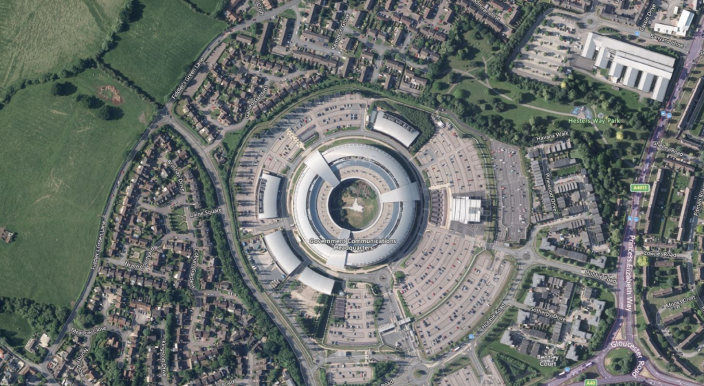
New, high-resolution aerial imagery, available now!
At LandHawk we are always trying to source or create the highest accuracy data to improve the reliability of a land development professional’s decision making. There are different types of ‘top-down’ imagery that are available for the UK, at different resolutions, currency and coverage. There are also varying costs associated with deploying these through applications, […]
New, high-resolution aerial imagery, available now! Read More »
