LandHawk – Responsible Land Development Made Easier.

API

Digital Construction Week

LandHawk APIs – the reliable geospatial data source for land & property apps

Building liveable places is a challenge that requires us all to work together. With this at the forefront of our mission, our team is busy making Geospatial data accessible to everyone. We recognise that the need for current and most importantly correct data is paramount when you’re making decisions about responsible development.  Results you can

LandHawk APIs – the reliable geospatial data source for land & property apps Read More »

New, high-resolution aerial imagery, available now!

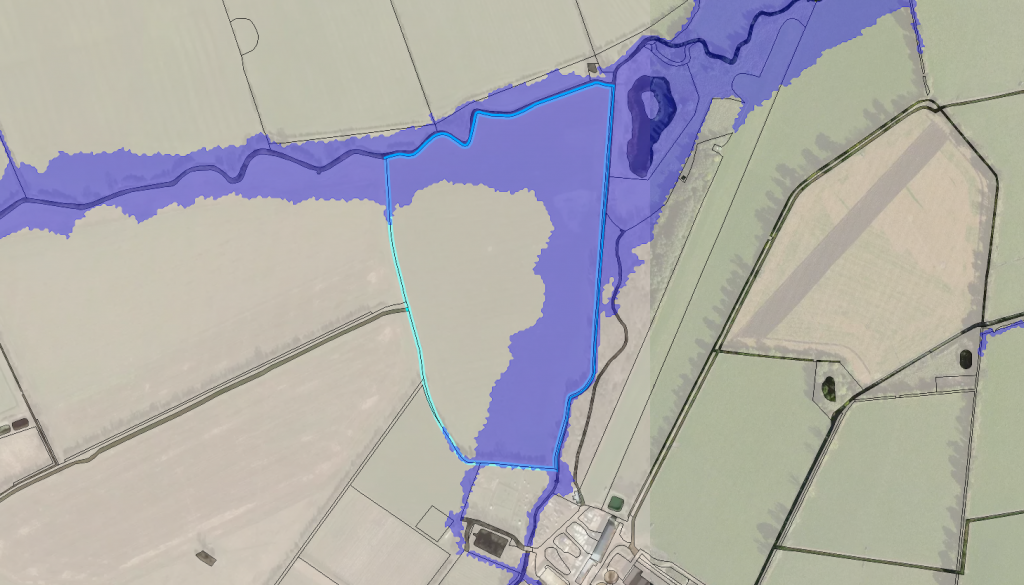
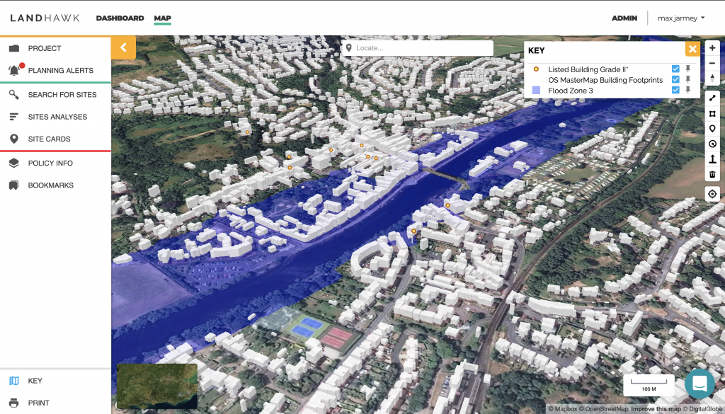
At LandHawk we are always trying to source or create the highest accuracy data to improve the reliability of a land development professional’s decision making. There are different types of ‘top-down’ imagery that are available for the UK, at different resolutions, currency and coverage. There are also varying costs associated with deploying these through applications,

New, high-resolution aerial imagery, available now! Read More »

What is ‘Net Developable Area’ for land developers and strategic planners?

What is ‘Net Developable Area’? This is the available area/zone within a parcel of land in which there is potential to build housing or some other type of permanent structure. Another way of looking at this is that it is the area with the most financial opportunity! How often do you notice patches of seemingly

What is ‘Net Developable Area’ for land developers and strategic planners? Read More »