Building liveable places is a challenge that requires us all to work together. With this at the forefront of our mission, our team is busy making Geospatial data accessible to everyone.
We recognise that the need for current and most importantly correct data is paramount when you’re making decisions about responsible development.
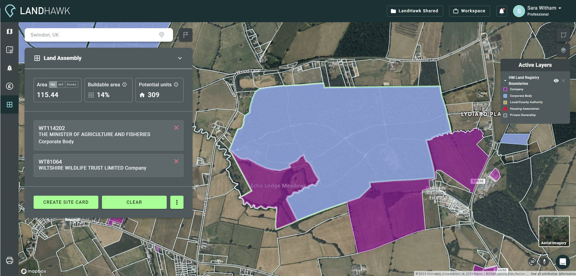
Results you can trust
You need correct and up-to-date data to supply your team with reliable analytics. Often when finding and manipulating data you’ll use multiple sources, all of which are time consuming to pull in and sometimes static or outdated.
Having a single source of data that is constantly available and regularly updated means everyone is better informed and the results are trusted. The ‘DIY’ collation method is also a lengthy process that impacts on delivery and expenditure, so the lack of upfront costs is actually only a perceived saving.
How does a LandHawk API work?
Our data API’s are one single source of truth for any land & property geospatial analysis you need to perform, each dataset is updated automatically, so you can rest assured that the results are current and reliable.
Some of our APIs are created by us based on information we aggregate from other data sets too. By overlaying, combining and manipulating several geospatial data layers, we’re able to provide data mashups that give you intricate information that isn’t available anywhere else.
For example, our HMLR Benchmark Sales & Land Values API delivers price per square foot value and optimised valuation for land, based on surrounding sales values. This takes the hard work out of creating your own formulas and allows analysts to deliver faster insights to their planning and development teams.
With our UK Planning Application data API we’ve captured planning information from local authorities to return a deeper level of detail for accurate insight. You’ll receive information such as development size, formal consent and application status.
We are constantly adding layers of analysis to drive better results via our in-house team of geospatial data experts so you can use our data within your platforms, to deliver the exact results you need.
What data is currently available?
We have the following APIs available right now and we are launching new ones regularly. If you would like to be involved in trialling any of our new streams out, please get in touch and we’ll provide you with an API token to test the data;
UK Planning Application Data
A comprehensive real-time feed, designed to deliver a reliable stream of UK planning application data that has been enhanced by the LandHawk geospatial team. Save time and make reliable, informed decisions on each project you undertake.
This API is ideal for any geospatial professionals, data analysts or software engineers delivering insight and visualisation to your planning and development teams as well as anyone building a PropTech app.
HMLR Benchmark Sales & Land Values
We’ve worked out land value for you, based on local authority data, actual sales value and the average for the area. You can see at a glance the square foot value of any parcel of land in the UK allowing you to budget and plan a project from the outset.
This API is ideal for any geospatial professionals, data analysts or software engineers who need fast access to the latest land ownership boundaries. It also has added analysis which delivers quicker insight to your planning and development teams, whether you are a corporate or an SME.
NPPF Constraints data
We’ve packaged up data that you would normally take from multiple sources and brought them all into one stream. See things like flood risk and other environmental and historic factors that may have an impact on your project. Save a huge amount of time sourcing and refreshing data too plus it’s all aligned to the National Planning Policy Framework (NPPF).
This API is ideal for any geospatial professionals, data analysts or software engineers delivering insight and visualisation to your Environmental Consultants, Planners, Land Agents, Developers and Local Authority teams.
Integration
All of our APIs integrate seamlessly with the leading GIS solutions such as QGIS, Esri, plus web map engines Mapbox and Leaflet. Once you’ve decided on the data you need, we’ll simply send you your token. If you need any support with this, our experienced team are always on hand to help and advise.
Benefits
By using a LandHawk API you can be fully confident in the data you’re delivering to your teams. Our ‘always on’ 24/7 data feeds allow you to maximise your applications and output consistent and reliable results. You can also use them to create your own customised tools within your platforms.
The real value in our APIs can be seen in supporting digital innovation and solution delivery. The ability to develop, customise and problem solve means your organisation stays ahead of the curve.
If you would like to enquire about our APIs that are available now or in the future, head to our contact us page here or call us on 01793 238264.